
Experience 360°
Capture stunning gigapixel aerial images with detailed zoom and interactive Google Maps integration.
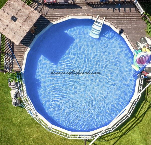
360° Aerial Imaging Services
We provide gigapixel 360 aerial images for detailed views and enhanced mapping capabilities.
High Definition Views
Experience stunning gigapixel imagery with detailed zoom and full spherical perspectives for your projects.
Interactive Mapping
Label items and integrate with Google Maps for an immersive and informative aerial experience.
Incredible detail and immersive experience! The gigapixel images truly bring the 360 view to life.
John Foodie

★★★★★
360° Service
Expert aerial and underwater drone solutions for Surveying & inspections.
Contact
info@dronenewliskeard.com
705 783-8515
© 2025. All rights reserved.